Dollerup Hills in Central Jutland
Ravnsbjergvej, 8800, Viborg


Dollerup Bakker is a magnificent nature area in Central Jutland, 10 kilometres south of Viborg. The heather-clad hills are located by the village of Dollerup, and this is also where you'll find Hald Sø, one of Denmark's deepest lakes.
Experience Dollerup Bakker - an ice age landscape in a class of its own
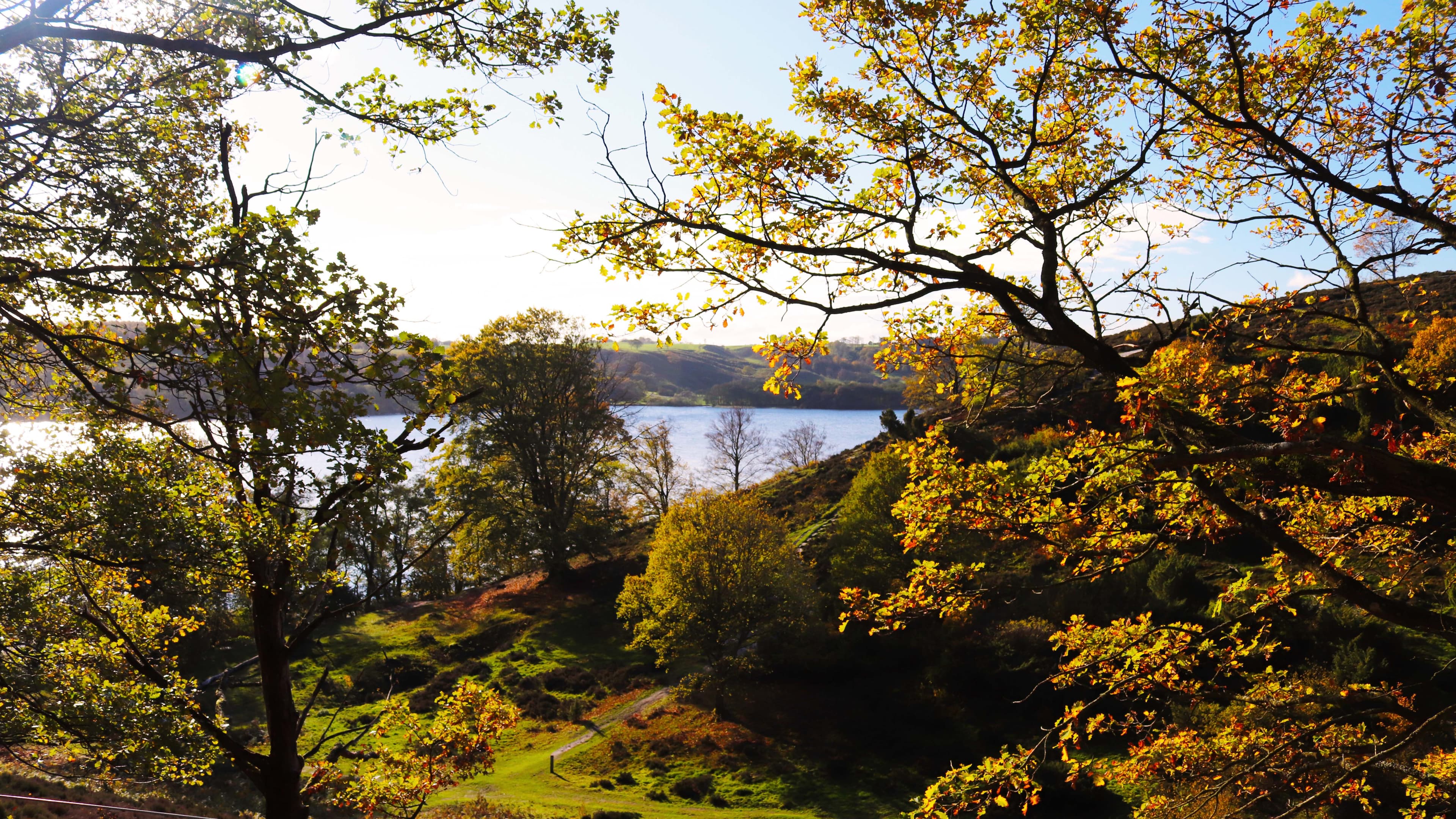
Dollerup Bakker, about 10 kilometres south of Viborg, offers a unique landscape shaped by the last ice age. Here you'll encounter steep slopes, deep ravines and heather-clad hills that rise up to 63 metres above sea level. From the top you can enjoy breathtaking views of Hald Sø, Denmark's third deepest lake with a depth of 31 metres.
Hiking routes for everyone
The area around Dollerup Bakker and Hald Sø is ideal for hiking. You'll find several signposted trails that lead you through varied terrain with forest, heathland and lakeshore. A special experience is the hike to the viewpoint at Bisballe Bakker, where you are rewarded with panoramic views of the landscape.
Nature and wildlife
Dollerup Bakker is part of Natura 2000 area no. 35 and contains rare habitats such as species-rich grassland and heathland. The area is home to a rich wildlife, including deer, foxes and various bird species.
Practical information
- Parking: There are car parks at Dollerup Ishus and along Ravnsbjergvej.
- Toilets: Disabled toilets are available at Dollerup Ishus.
- Accessibility: The terrain is hilly and can be challenging for people with walking difficulties. A disabled-friendly path can be found at Inderøen.
- Public transport: Bus 712 runs from Viborg Station to Dollerup.